Stop and Go Traffic

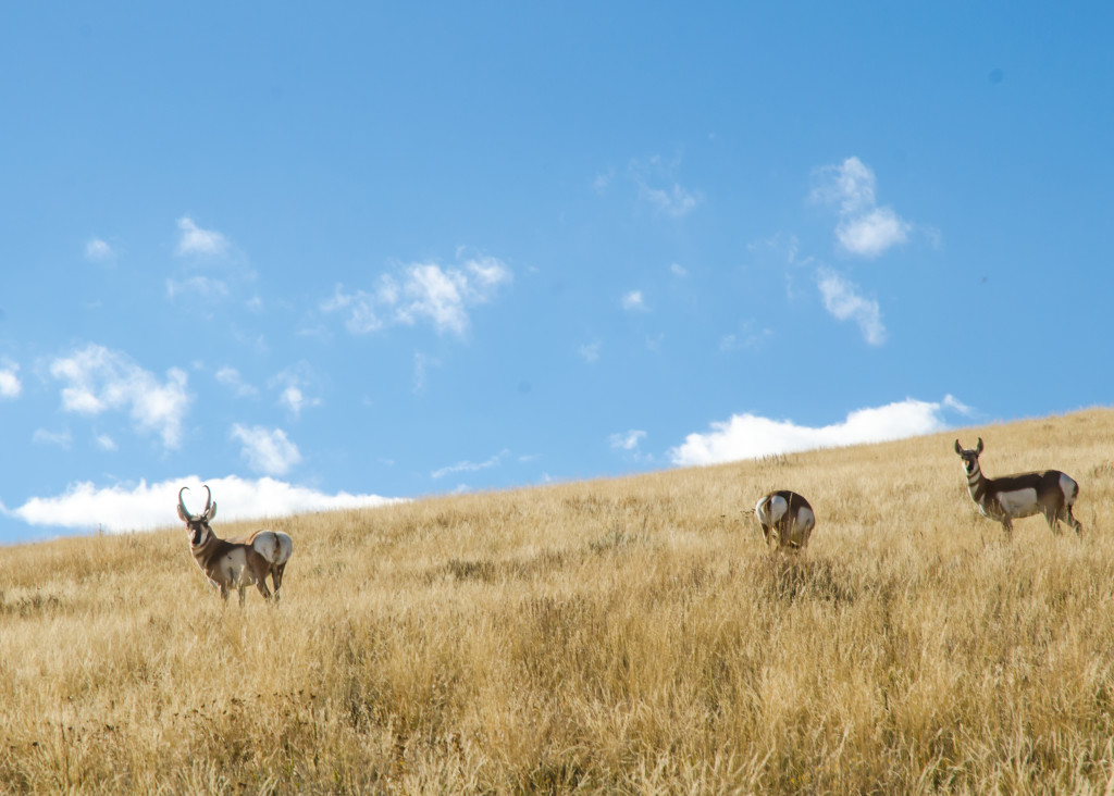
For wildlife researcher Dr. Hall Sawyer the seeds of discovery were fertilized, as is often the case, by hard labor. In the spring of 1999 Sawyer, mountain-man fit, affably handsome and freshly minted by the University of Wyoming as a Master of Science in Zoology, was working for the Wyoming Cooperative Fish and Wildlife Research Unit (the co-op) on the now famous “Path of the Pronghorn” project. Charged with tracking northbound antelope through the Upper Green and Gros Ventre River drainages, Hall, alone with his trusty Australian shepherd Gus, trudged into Northwest Wyoming’s snow choked Union Pass. He found the radio-collared pronghorn he was looking for in that rugged high country, but also the first inklings of what would become his doctoral dissertation, and a giant leap forward for wildlife science.
Watching winter weary pronghorn thread the needle between the Wind River and Gros Ventre mountains, Sawyer was struck by how migrating ungulates stitch the landscape together, and how in doing so they ensure that, in his words, “Resource management decisions made in one place can affect critters far, far away.” The natural system is so complex, entangled and intertwined he realized, that given the current state of the science, predicting those effects could be nearly impossible.
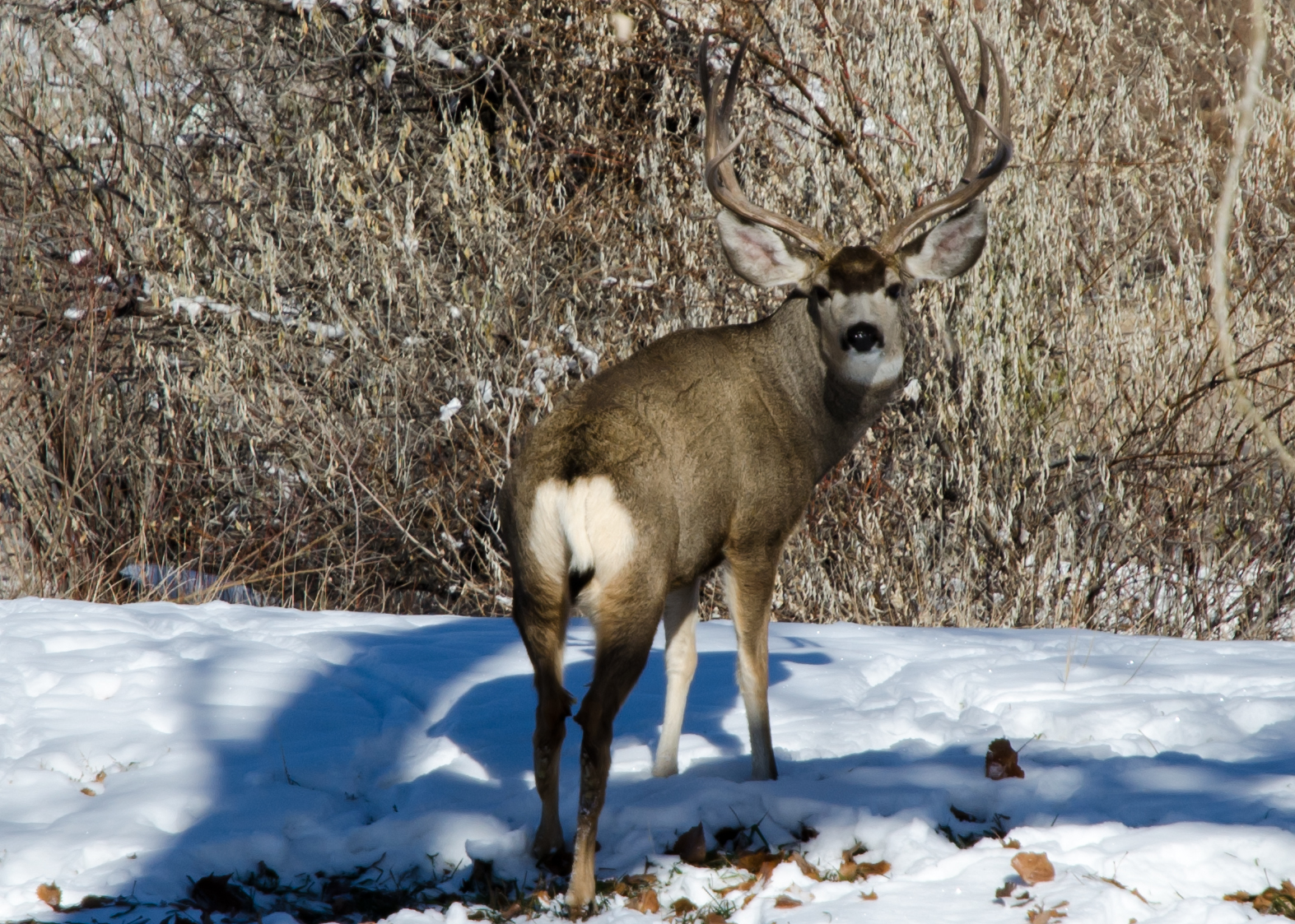
Migratory ungulates like pronghorn, mule deer, elk and moose spend the warm months on summer range, often high in the forested mountains, then scrape through the bitter seasons on lower, open-country, winter range. It’s a pattern that scientists, sportsmen, and every westerner with a hay meadow recognized generations ago. But if in the late nineties you’d asked any of those experts when, where, why or how the animals actually moved from point A to point B and back again, you’d have been answered with little more than guesswork.
Recent graduate study had exposed Sawyer to mountains of top-notch bird migration data. And he knew the resulting science underpinned successful management and conservation programs around the world. Watching pronghorn break trail through the stubborn drifts that spring, the relative scarcity of ungulate migration information suddenly felt like a glaring omission, one that wildlife professionals, land managers and resource developers could no longer afford. He didn’t know yet where the pursuit would lead him, but Sawyer knew then that he wanted to help build a comparable knowledge base for land migrators.
Advances in available technology and the demands of energy development provided an opportunity to do just that. In 2004 energy companies in Southern Wyoming’s Atlantic Rim oil and gas field wanted to expand operations. The Bureau of Land Management (BLM) however, the federal agency responsible for managing that landscape, needed to know more about the possible effects on wildlife before giving the go ahead. Sawyer – by then a working ecologist for Western Ecosystems Technology, Inc. – together with the Wyoming Game and Fish Department and the BLM, proposed collecting data on local mule deer migration patterns. They hoped such information would help evaluate potential impacts, improve planning, and identify mitigation options. A study was born.
 At first blush, the idea of determining migration routes and planning around them was nothing new. But previous studies relied on radio transmitter collars, anecdotal observation, rudimentary capture methods, and broad intuitive leaps to connect the dots. Results often looked like a bowl of spaghetti dropped on a map. The somewhat arbitrarily drawn lines had no defined area, offered little context and provided no way of determining the relative importance of each path. Sawyer had something fundamentally different in mind.
He and his team used low flying helicopters and door mounted net guns to capture a more representative sampling of deer from the air. Retired WGFD Deputy Wildlife Division Chief Tom Ryder once described net gunning – at that time a novel technique in North American wildlife science – as “The most adrenaline laced activity you’ll ever find in a professional environment.” For his part Sawyer admits when pressed that the process of pitching and yawing over the desert in an open sided whirlybird can be exciting, but insists that, “Mostly it’s just very, very cold.”
Researchers then attached fine-scale Global Positioning System (GPS) tracking collars to their safely subdued subjects. These newly available tools communicated with a network of orbiting satellites to determine and record each deer’s precise location every two hours. The collars kept this up for either one, or two years, depending on the subject group, then, on a predetermined date, unfastened themselves and fell to the ground from the unharmed deer. A VHF radio guided scavenger hunt ensued in which Sawyer combed the sage until each of the collars, and their treasure troves of data, were recovered. “Getting those collars back?” says Sawyer with a sigh, “It was like Christmas.”
The proverbial presents were barely unwrapped though before the challenges of crunching so much data became apparent. Where past studies were built on relative handfuls of data, Sawyer and his team now had 116,494 time-stamped locations to sift through. The sheer volume and exceptional resolution of entries rendered most conventional analysis methods ineffectual. A head-scratching period of trial and error followed until the scientists borrowed a page from their bird focused colleagues. A statistical analysis tool called the Brownian bridge movement model was already widely used to make sense of bird migration patterns. When Sawyer examined the Atlantic Rim mule deer data through this lens, and overlaid the results on a map, the meaning of what he and his collaborators had collected finally snapped into focus.
 The image that emerged bore little resemblance to its predecessors. In lieu of the typical tangle of stand-alone lines, a fan of branching, braiding beams unfolded onto the curves and seams of the terrain. The beams had girth, narrowing and expanding as they went, corresponding to the varying surface area of the actual travel corridors. Frequency of use was coded in color, giving traffic volume visual representation and literally highlighting key arteries. This was a tool that planners at the WGFD, BLM and energy companies could sink their teeth into.
But something revolutionary lay hidden in plain sight amid all that newfound functional utility. Migration routes – the beams of the fan– were shaped more like pearls on a string than uniform chains. Thin, dull corridors of light use connected bright, bulging areas of heavy use, one to the next. The deer hadn’t moved smoothly and continuously through their migrations. Rather, the data suggested, they stopped, bunched up, and hung-out at numerous points along the way, then pushed quickly on to the next gathering place. Mule deer, it appeared, much like migrating birds, or human motorists on a cross-country trip, rely on stopover areas to complete their seasonal migrations.
WGFD Regional Wildlife Coordinator and Mule Deer Working Group Chairman Daryl Lutz describes the discovery of stopover areas as “A game changer.”
Excited by the breakthrough on Atlantic Rim, and eager to learn more about these ungulate rest stops, Sawyer and the co-op’s Dr. Matthew Kauffman launched a follow-up study, this one using pre-existing mule deer movement data from the Pinedale Anticline area. Anticline deer, it turns out, stopover too. So the team took a deeper look and set about exploring how.
Unlike birds which stopover just long enough to gather the bare minimum food needed for the next leg, deer, they discovered, spend the vast majority of their migration time, 95 percent, at stopover areas. This lackadaisical pace mirrors the speed at which their food emerges. Timed right, deer arrive at each stopover area just as their favorite eats hit peak form. These revelations, combined with the knowledge that some populations spend a third of each year in transit, suggest that stopover areas – a phenomenon that had so recently gone unnoticed – may be just as important to deer survival as critical winter ranges and fawning grounds.
The concept of overland stopover ecology migrated quickly around the world following Sawyer’s dissertation work. Newly armed with fresh ideas and a common vocabulary, the global ungulate research community built upon the original science. Populations of pronghorn, elk, moose and various species of wild sheep have already been shown to use stopover areas, and scientists learn more every year about the nature of these indispensible pocket habitats and how they’re used.
Ultimately though, the real legacy of Sawyer’s discoveries won’t be found in a scientific journal. We’ll see it in healthy populations of animals moving across the land. Stopover area studies are equipping planners with the tools to steer development away from the most sensitive spots, and habitat improvement projects right to where they’re needed most. That type of smart planning has the power to benefit humans and our four legged neighbors for generations.
Here in Wyoming, the process of putting Sawyer’s breakthroughs into practice is well underway. The WGFD is, according to Lutz, “refocusing emphasis on these important habitats,” because, “enhancement and protection of stopover areas may produce the greatest net benefit for mule deer fawn production and survival.” Meanwhile, the Wyoming Migration Initiative, an ambitious collaboration of research institutions, conservation groups, charitable foundations and government agencies (including the WGFD) has formed to “advance the understanding, appreciation, and conservation of Wyoming’s migratory ungulates by conducting innovative research and sharing scientific information through public outreach.” This broad-based coalition has begun to identify critical routes in need of protection – most notably North America’s second longest land migration route, a 150 mile mule deer marathon between the Red Desert and Hoback Basin – and committed to the creation of a comprehensive wildlife migration atlas.
By any measure this dedicated group of professionals has a long journey ahead of them. Maybe they should consider stopping periodically to refuel and gather their strength.
Note: An edited version of this story originally appeared in the May 2015 issue of Wyoming Wildlife Magazine. If you enjoy well researched stories about the natural world, you can subscribe here.


Sounds a lot like the migrating trout I’m finding in the local streams. When the water is high in the spring, they are everywhere and anywhere with seemingly no rhyme or reason. As waters have dropped they bunch up in the feeding areas and deeper holes. If you mapped them I bet it would look like the pronghorns…staying a while in the holes and spending less time in between.
Indeed!
Matt – great piece. Ensuring the longevity of these routes is essential for the longevity of our enjoyment of the outdoors. Hiking just isn’t hiking without the encounters with wildlife.
As you likely know, the Wyoming branch of the Conservation Fund (Luke Lynch’s work) was focused on supporting these efforts as well. Fund volunteers are gathering in his memory (hopefully for years to come) to pull fences, protect travel corridors and stopover points. Please keep telling these stories and raising the awareness.
Thanks Dan. Do you happen to have a link where would-be volunteers could find fence-pull dates and other similar opportunities?
I will see what I can find out.